Search This Blog

Tuesday 31 May 2016

Derby Reach Regional Park

Our favourite park is Derby Reach Regional Park in north Langley. It covers some 300 hectares of land that was once the Edge Farm. Derby Reach is recognized as the site of the first contact between people from the Stó:lō first nation and Europeans working for the Hudson Bay Company. A pioneer by the name of Alex Houston built his house on the land that is now part of the park. Houston is credited with starting the Cariboo gold rush. The old barn stood along the trail 'till this spring when it was destroyed by three fallen cottonwood trees during one of our winter storms.

A several hundred year old apple tree

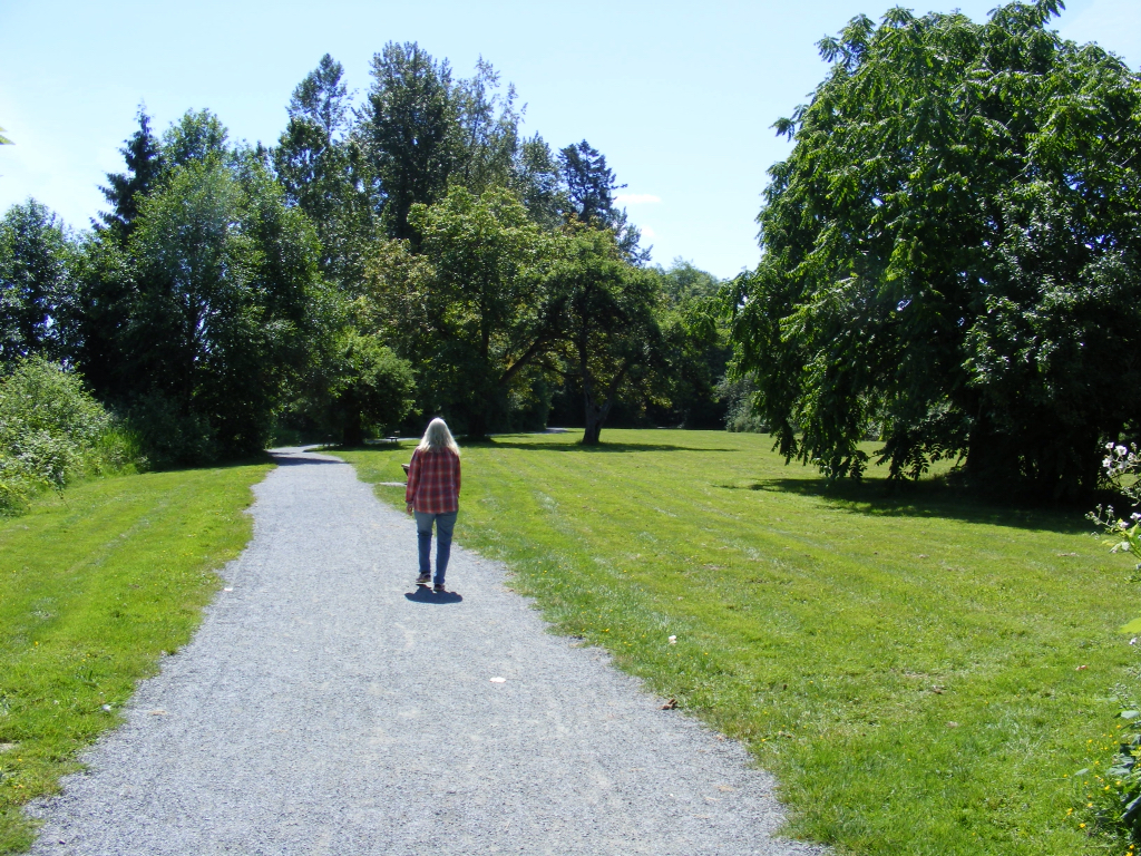
The park has some beautiful walking trails, most of them flat except for Houston Trail which has some steep sections. Houston Trail is a shared path for pedestrians and equestrians, the Edge Trail is a path for pedestrians only, the Edge Farm Trail is a shared path for pedestrians and cyclists and the Fort to Fort Trail is a shared path for pedestrians and cyclists and will take you all the way to Fort Langley. In total there are more than 28 km. of trails to walk, cycle and ride.

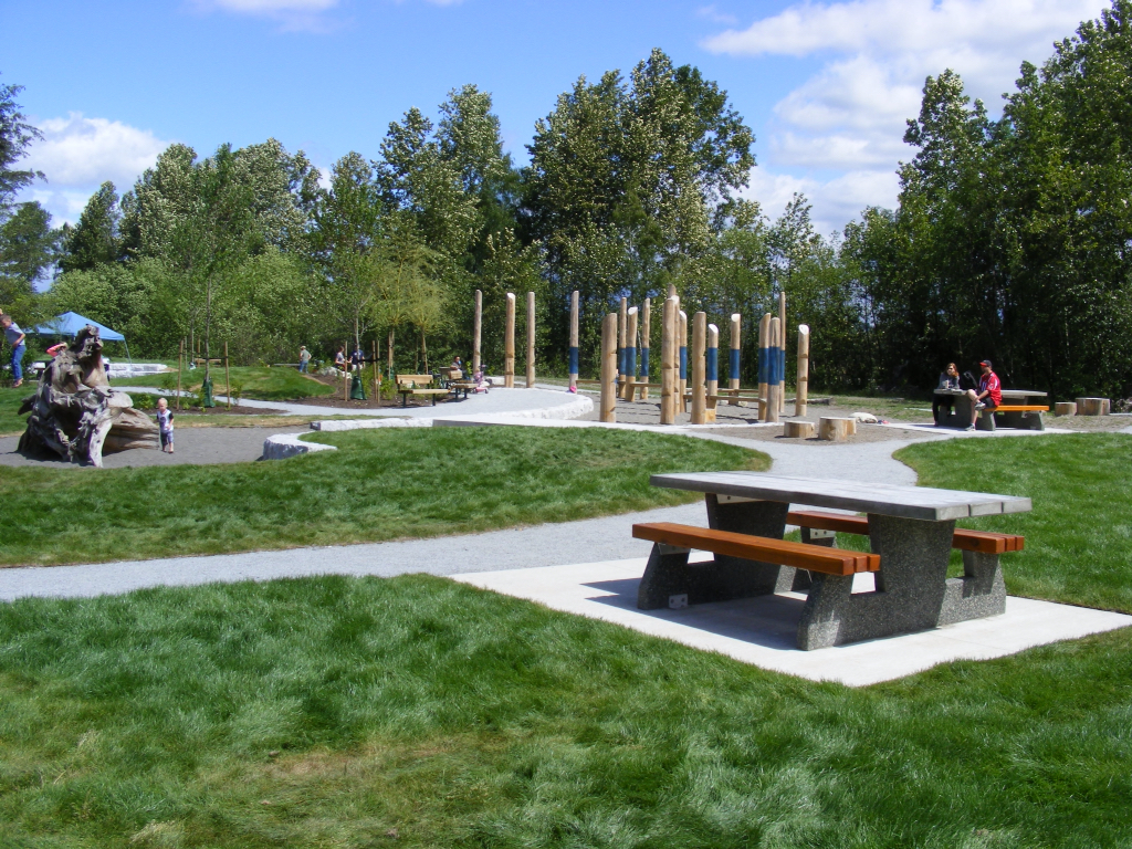
There is also a primitive campground with 38 campsites in this park, no hook-ups, and the maximum stay is 10 days. Water taps and pit toilets are provided. The fee for camping is $24.00 per night. The campground is open from March 1st to October 31st. There is also a large day use area for picnicking and two shelters are provided for large group events.

38 Campsites

We love coming here in the summer months to picnic and people watch. Also along the Fraser River's edge there is no shortage of things to see like watching the tug boats ply the waters with their barges. Weekends can be quite busy so we prefer the week days. The park is also very popular with dog owners who make use of the "off leash" area next to the day use area. Someday we'll pitch our tent here and stay a few days. We live close by so going home for a morning shower is easy peasy...

This is Rob with his dog Rudy. We chatted for half an hour, nice guy.
Perros Calientes!
The cleanup crew is never far away.


Wednesday 18 May 2016

Crescent Beach

The weather guessers had predicted a rainy day so when we found the day to be mix of sun and haze, we decided to drive to Crescent Beach and have a walk and picnic. We love picnics and are quick at slapping together some veggies, crackers and cheese and vino. But first we must get some steps in, after all we are under the thumb of Shelagh's fitbit!

Along the beach front a path takes you from the public parking lot to the centre of the village. The path is shared with bicyclists. Ultimately it ends just beyond the village where those seeking privacy have the opportunity to be away from it all. The views over Georgia Straight are beautiful and on the other side are a row of gorgeous beach homes. Some are just cottages built a long time ago and some are statements to bottomless bank accounts.

It's one of those back and forth walks, not our favourite but the scenery was well worth it. In the village are a collection of restaurants where prices seem a tad inflated, but the fish and chips looked great! When we returned to the parking area we set up our chairs in the shade of a tree and enjoyed our lunch, keeping a close eye on the rather fearless crows intent on stealing a bite. They are not as skilled as the seagulls at Granville Island who will swoop by and take your lunch right from your hand!

Leave your picnic unattended and these guys will take advantage

A cool breeze forced us to the sandy beach area where we decided to go next time for a picnic.

We miss our sailing days


Sunday 15 May 2016

Surrey Bend Park

In mid May of 2016 Surrey Bend regional park opened to the public. Access to the park is off 104 Ave. just near the ferry terminal to Barnston Island. The park is still being added to with new plantings and lawn areas under development, but should be done soon.

There are three trails to walk and two of them are also open to bicycles. All three trails are level and easily walked.

The Spirea Loop Trail is 1.7 km long and follows Beaver Loop Channel that is home to young fish. We also saw some geese nesting along the water's edge. Bicycles are permitted here.

The Pacific Trail is a straight road that runs from 104 Ave. to Centre Creek and is also open to bicycles. This trail is three km long. Centre Creek supplies the wetlands of the park with tidal water. The wetlands are not accessible and are strictly there as a natural habitat for wildlife refuge purposes.

At Centre Creek the trail becomes Parsons Trail is is open only to pedestrians. It has a length of 3.2 km. It winds through the trees along Parsons Channel and is quite narrow in places. Also there are a lot of exposed roots trying to trip you up. The trail crosses the Spirea Channel with a metal bridge that has a remarkable bench on it.

At the parking area are three covered meeting places for large groups to picnic along with a play area for the kids and a handful of single picnic tables. There is also a nice clearing at the channel's shore with a viewpoint to watch the activity in the channel. Another viewpoint is along the Parsons Trail.

We had a beautiful sunny day and we walked all the trails in about 80 minutes. Over the next few years this park will really fill out nicely. New trees have been planted along the Beaver Channel. There is ample parking, but if needed more cars can be parked at the ferry terminal. A path is in place from the ferry terminal to the park.

We were also impressed with the waste disposal bins at various locations. Another fine day! Life is good...